Regional centres compared through their own evidence, with proposed ancient names and explicit gaps.
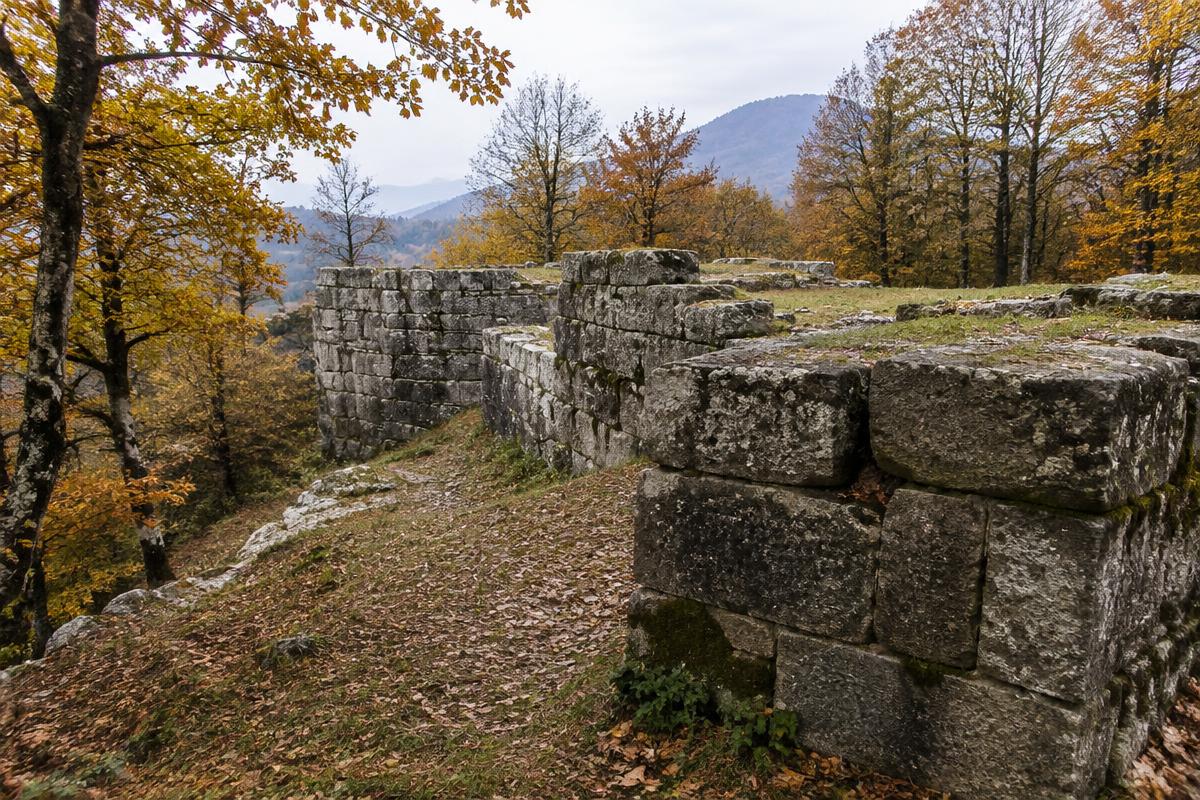
Fortress walls of the Orăștie system (illustrative). Illustrative AI-generated image, not a photograph of a real find or site.
A comparison of surviving evidence, not a ranking of identical cities. Fortresses, settlement zones, productive landscapes and ritual spaces need not have had equivalent political roles. No subsite coordinates are published.
Orăștie Mountains
Sarmizegetusa Regia
1st c. BCE – 106 CE
Terraced political, productive and sacred centre
Archaeology
Excavation and landscape studies document sanctuaries, workshops, engineering and fortification.
Low-density urbanism is a debated model; not a template for every regional centre.
Imported; not independently reverified · UNESCO statements summarize nomination/heritage assessments; they are not substitutes for excavation literature.
Imported; not independently reverified · Building sequence is a scholarly reanalysis of incomplete and altered evidence.
Giurgiu County
Popești
2nd c. BCE – c. 6 CE (study scope)
Dava with differentiated settlement zones
Proposed identification: Argedava
Archaeology
The 2019–2020 preventive excavations revise the settlement plan, with public architecture and evidence discussed in relation to ritual, ironworking and wine production/trade.
First data, not a final synthesis; the ancient name has not been securely established at the site.
DOI metadata checked · Radu Vulpe identified Popești with Argedava; this is a scholarly identification, not a secure ancient place-name. Preliminary excavation synthesis.
Bacău County
Răcătău
Late Iron Age; earlier layers also present
Cetățuia / acropolis settlement
Proposed identification: Tamasidava
Archaeology
The 1997 official report records occupation deposits, burnt building remains and material from acropolis excavation.
Database naming does not make the ancient toponym certain; ritual and funerary interpretations require their specific contexts.